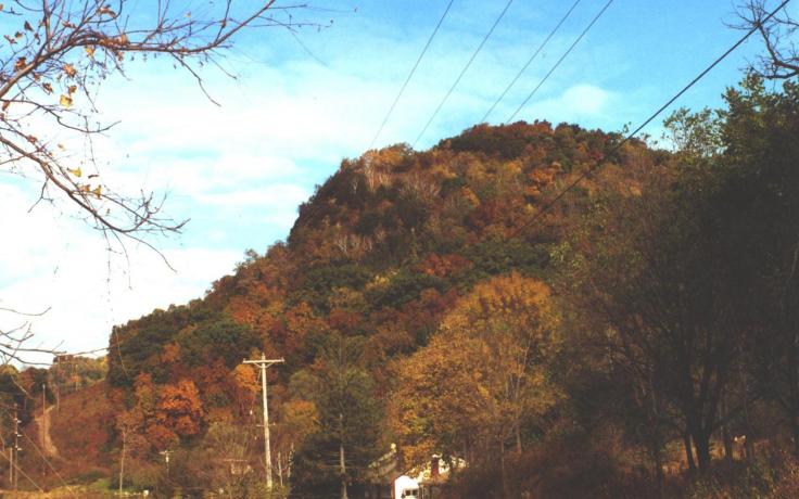
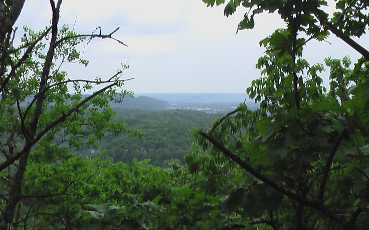
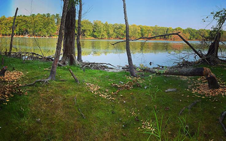
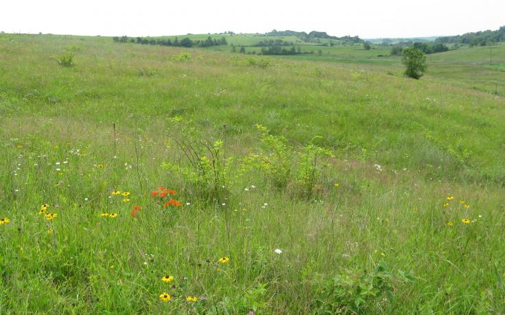
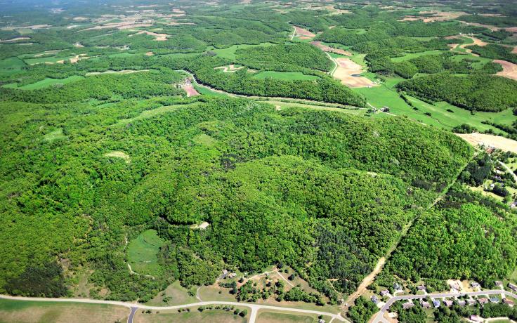
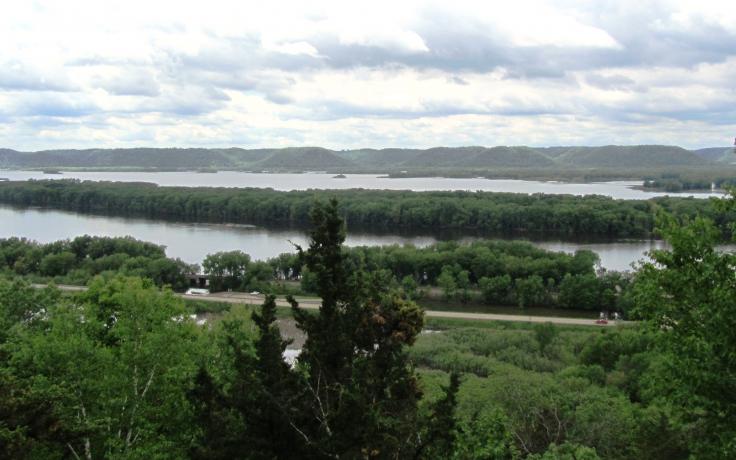
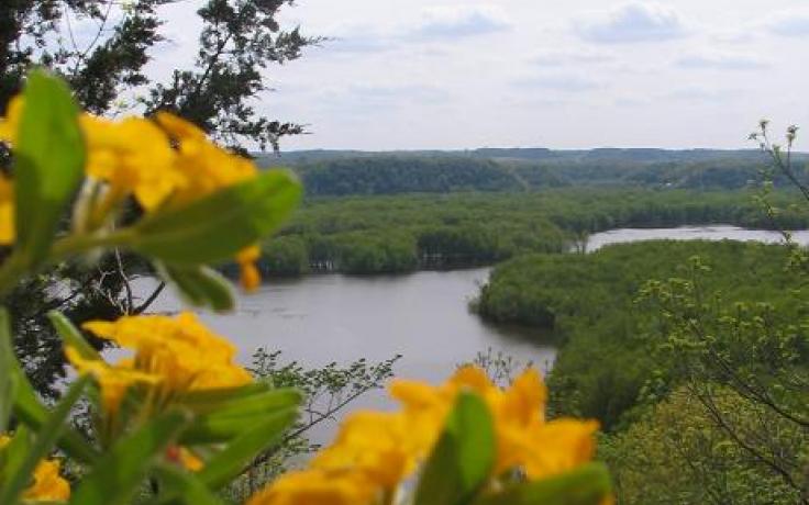
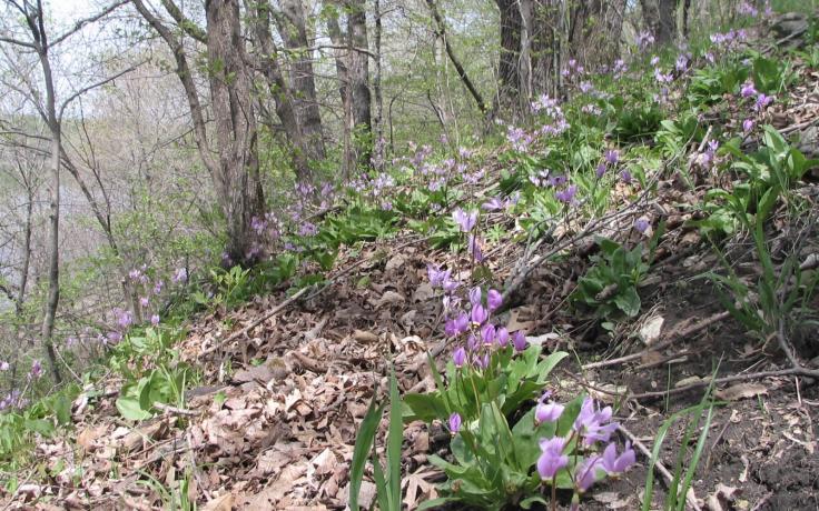
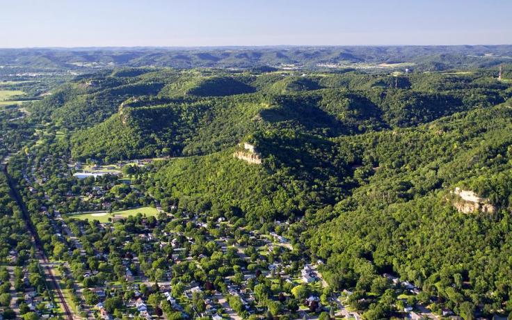
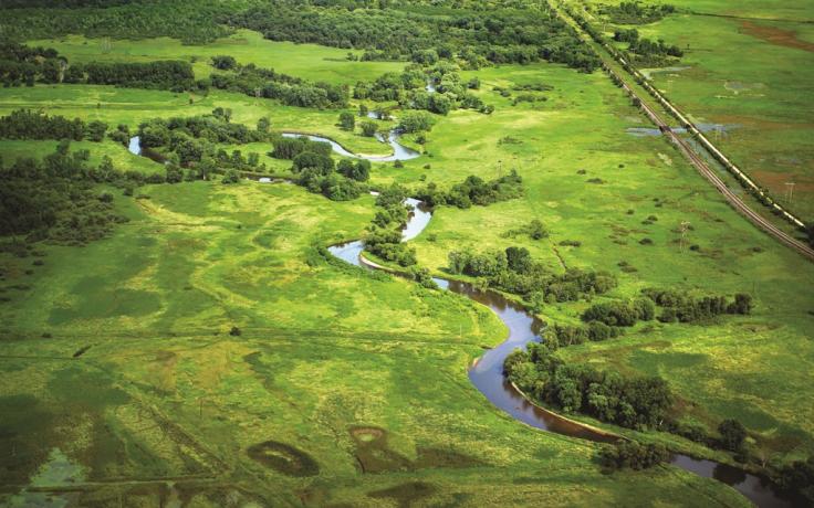
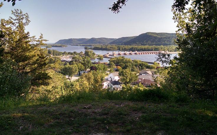
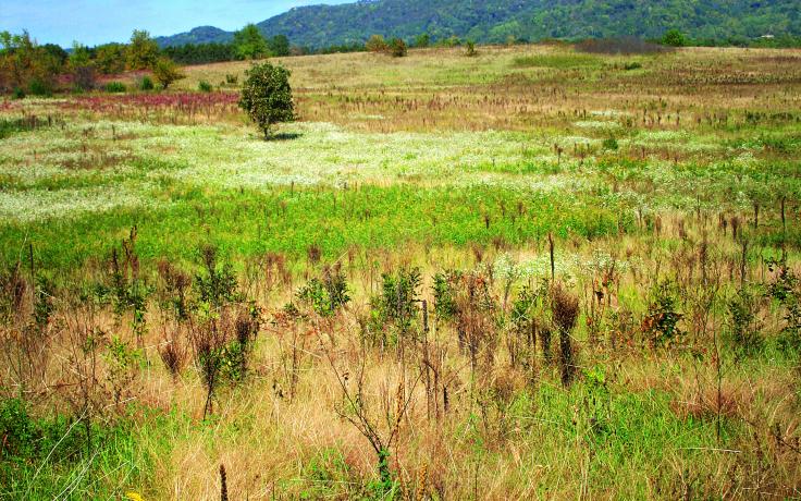
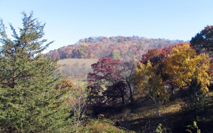
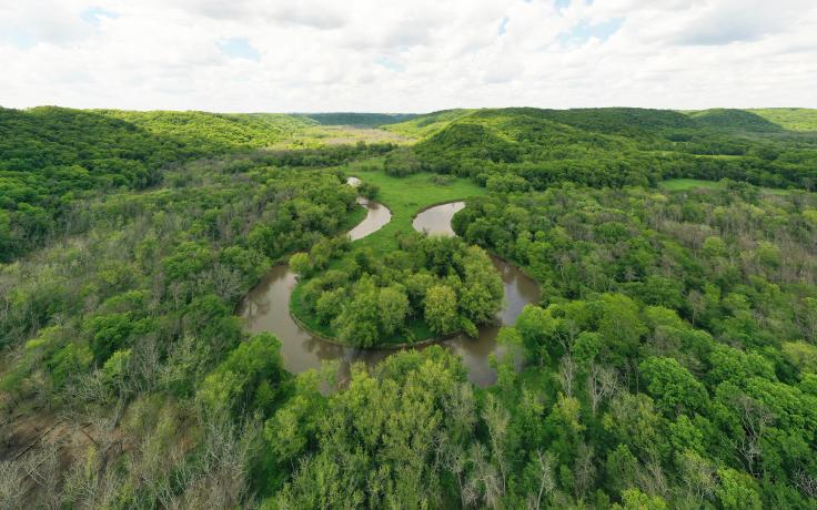
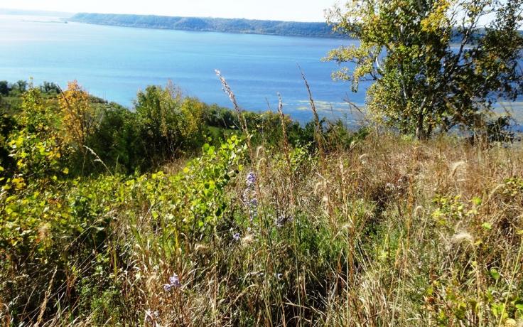
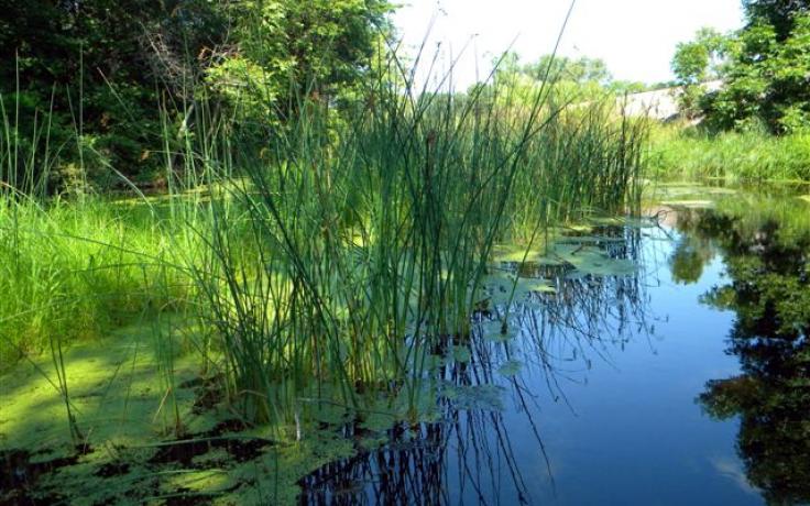
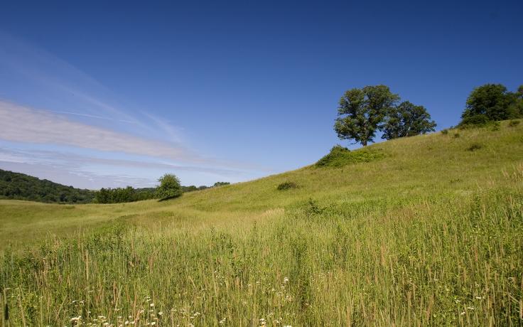
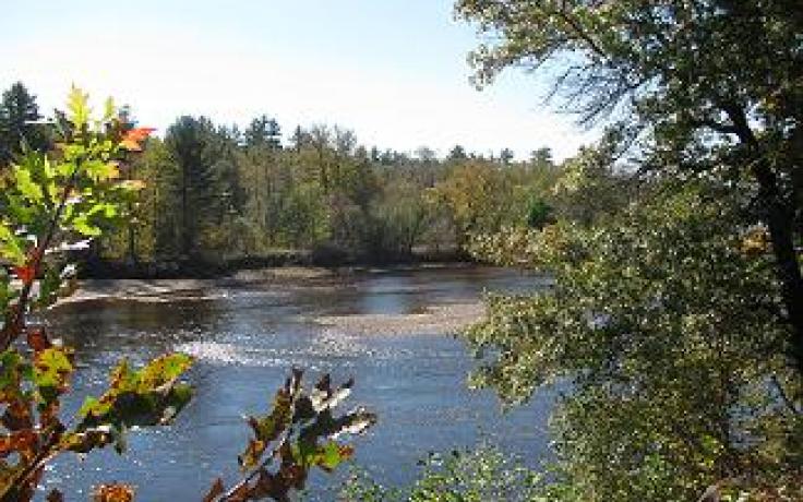
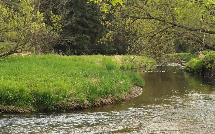
Explore Our Nature Preserves
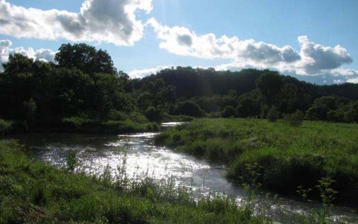
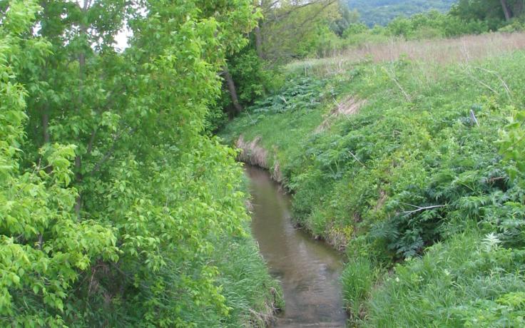
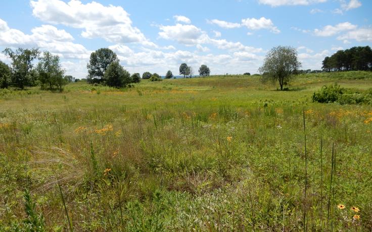
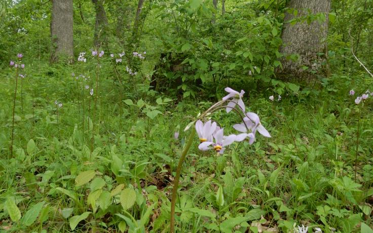
Together with you, we protect rare plant communities, threatened wildlife species, top-notch cold-water trout streams, archeological resources, scenic beauty, and land for sustainable agriculture – many of the best features of the southwestern Wisconsin landscape. Our nature preserves provide opportunities for people to get outdoors, connect with nature and develop healthy habits of good exercise.
Things to Know About Public Access at the Nature Preserves
- Everyone is required to follow the Recreational Use Policy guidelines on all Conservancy-owned properties, as well as all federal, state, and local laws. Partner-owned nature preserves are subject to each partner’s rules or policy.
- Respect neighboring property lines and avoid trespassing
- Hunting is allowed on most preserves (subject to local ordinances, state and federal laws and regulations)
- See Recreational Use Policy for specific hunting/trapping information for each property
- Stay safe during hunting season by wearing bright clothing
- View the DNR's hunting season dates
- Avoid hiking on muddy trails to protect habitats
- If you encounter mud, turn back instead of going around
- DRONE USE IS STRICTLY PROHIBITED on all Conservancy properties. Drones may only be used by Conservancy staff or partners with written permission for scientific or educational purposes.
- Donations help preserve and maintain the land and trails
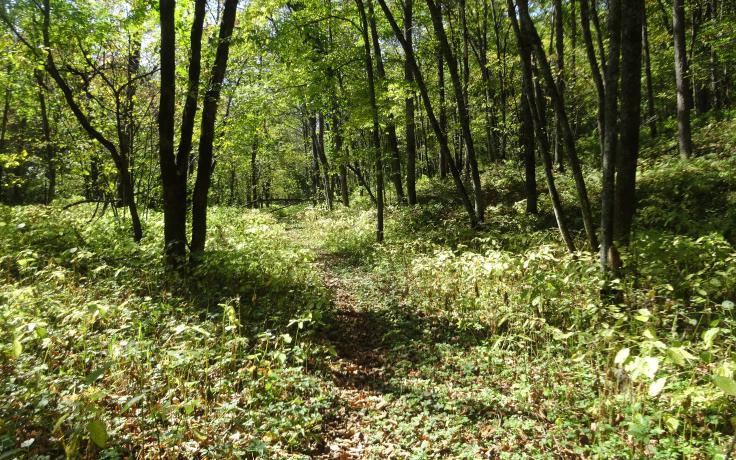
How to Learn More About Each Nature Preserve
- View each of the nature preserves by scrolling below
- Use the Interactive Nature Preserves map to find a property near you
- View a one-page Nature Preserves map overview
- Take the Trail Trek Challenge, a free year-long event where you can challenge yourself and others to complete at least 5 hikes chosen from our Trail Guide and win a Trail Trek Challenge water bottle sticker for completing the challenge!